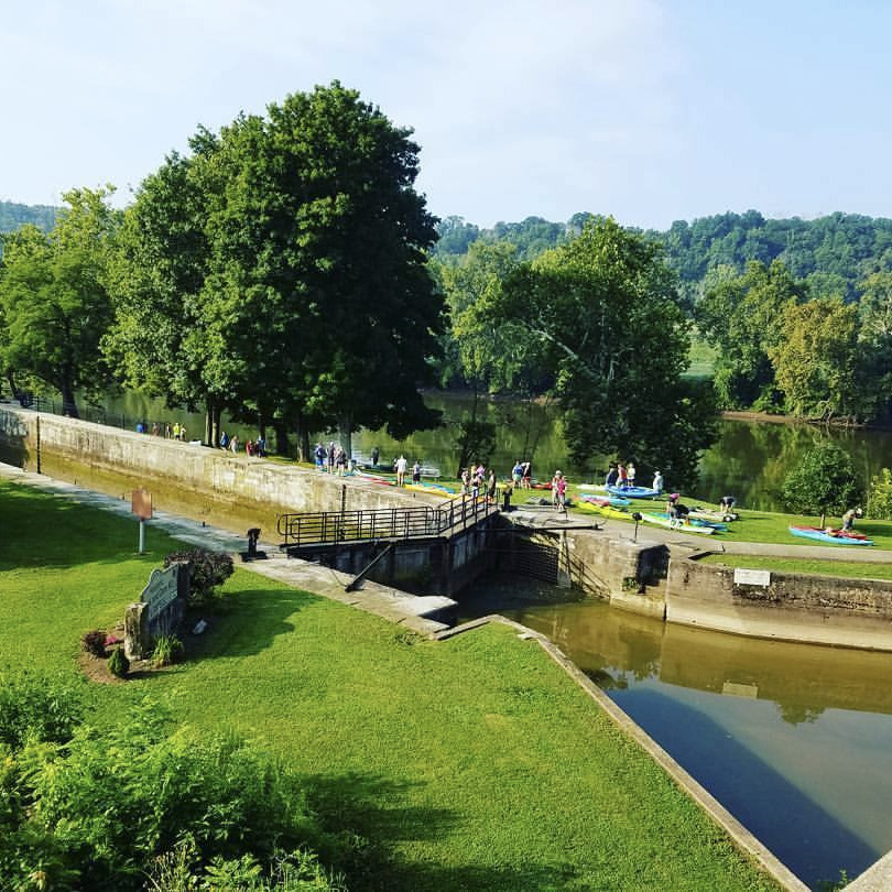
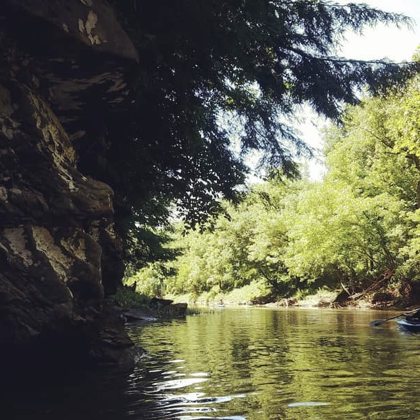
Local Paddling Info
This map shows drop-in and take-out locations on many area rivers. Includes the Muskingum River, the Ohio River, Duck Creek, and the Little Muskingum River.
Check Local River Levels
Check the USGS gauges through the links below. Water levels will vary at different points on the river.
Ohio River
@ Marietta
Little Muskingum
@ Bloomfield
Duck Creek
@ Whipple
Middle Island Creek
@ Little, WV
Other Local Paddling Links:
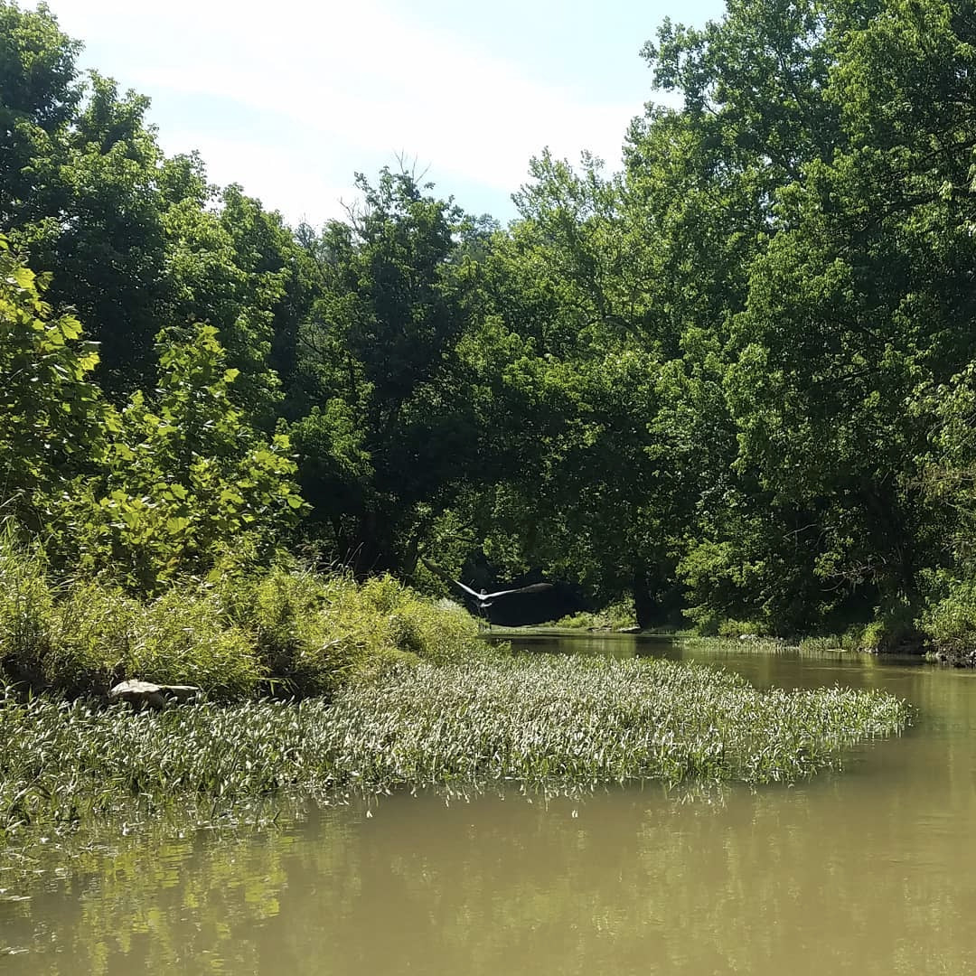
Muskingum River Water Trail
The Muskingum River is the longest navigable river within Ohio. Follow the link to download the section by section guide for this 112 mile jewel!
Little Muskingum River Guide
Follow this link for the Little Muskingum River (69.7 miles) paddling info.