Local Riding Info
Cycling in the Mid-Ohio Valley
The Mid-Ohio Valley is home to hundreds of miles of mountain bike trails as well as endless rolling paved and gravel roads. Here you'll find info on local cycling clubs, maps and suggested routes. Now... Go explore!
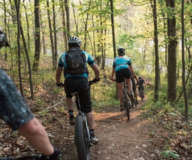
Marietta City Trails
Starting downtown, check out our local Marietta City Trail Network!
With nearly 30 miles of groomed singletrack, it's the perfect place to ride for an hour after work, or for a full day of exploration. Also, check out the dirt jumps and paved pump track at Gunlock Park!
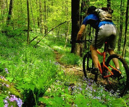
Wayne National Forest
The Marietta Unit of Wayne National Forest is home to 80 miles of rugged backcountry terrain, all a short drive from Downtown Marietta!
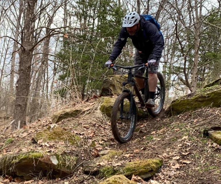
Mountwood Park
Located along Rt 50 near Parkersburg and a short drive from Downtown Marietta, Mountwood Park is home to 30 miles of beautiful singletrack!
Download the Marietta City Trail map.
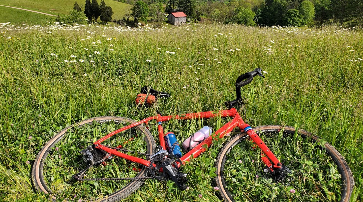
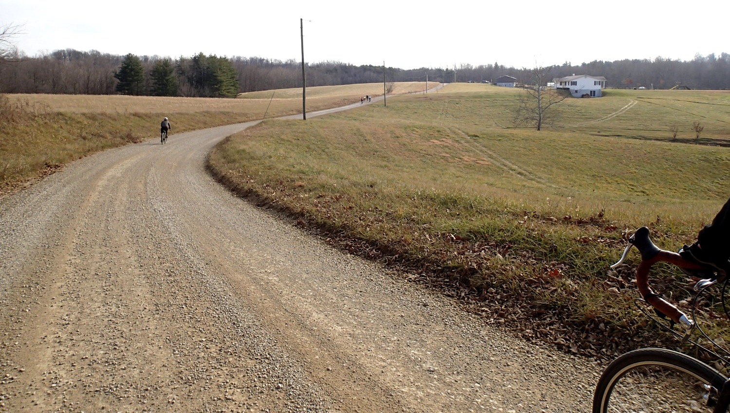
Local Gravel Riding
Click the links below to see our favorite local gravel routes all leaving from Downtown Marietta. We will be adding gravel routes of varying lengths to the website over the next couples weeks. If you need any route suggestions, give us a call or email the shop!
Stanleyville-Whipple-Lowell
A 37.6 mile gravel route with 2,442 feet of elevation through local communities outside Marietta, Ohio.
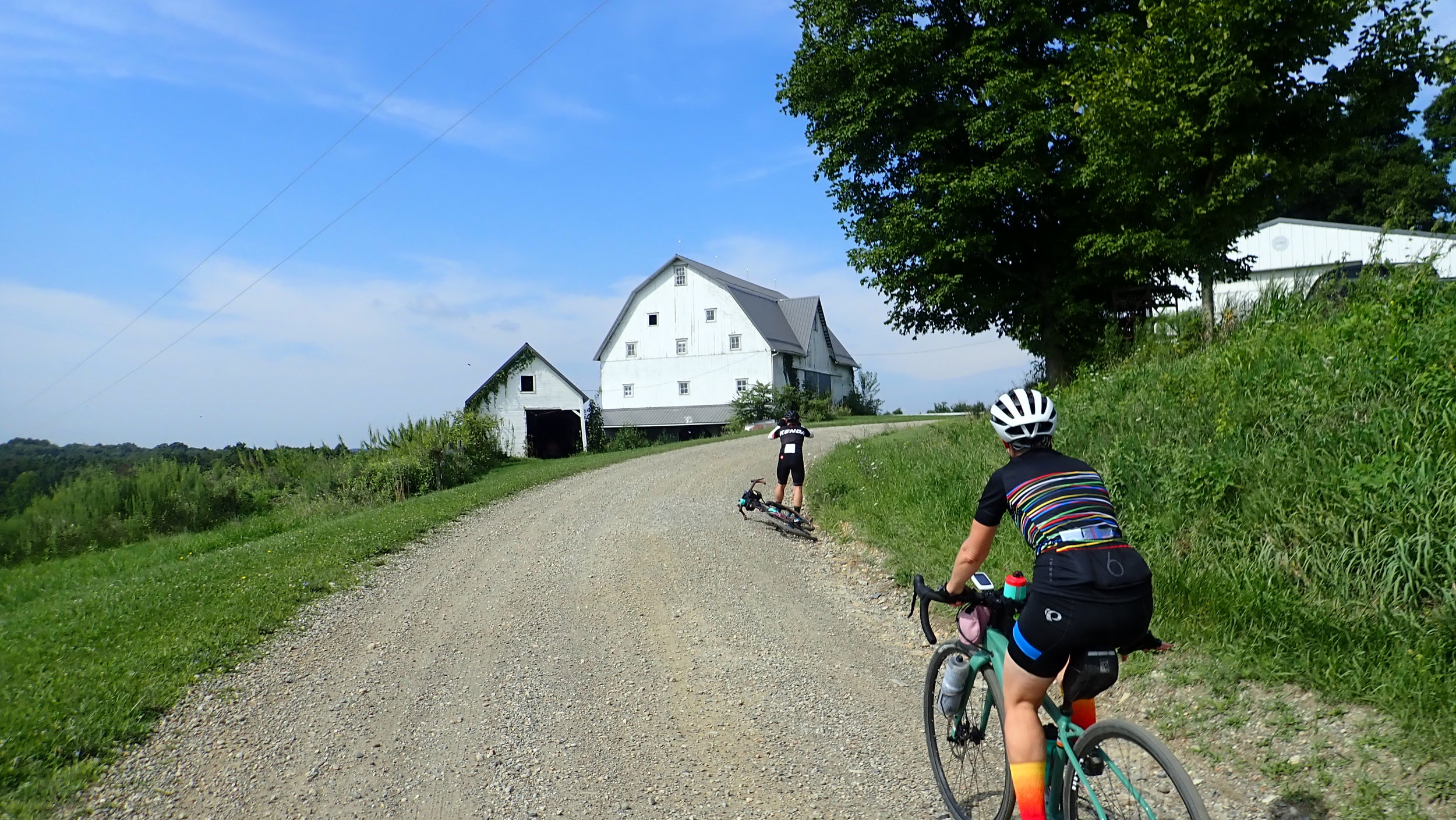
Wayne National Forest Gravel
A 35.7 mile gravel ride with 2,947 feet of elevation through the Marietta Unit of the Wayne National Forest.
River, Trails, and Ales Gravel
A 31.5 mile gravel route with 2,176 feet of elevation. This ride is typically done during the local River, Trails, and Ales festival in Marietta, Ohio.
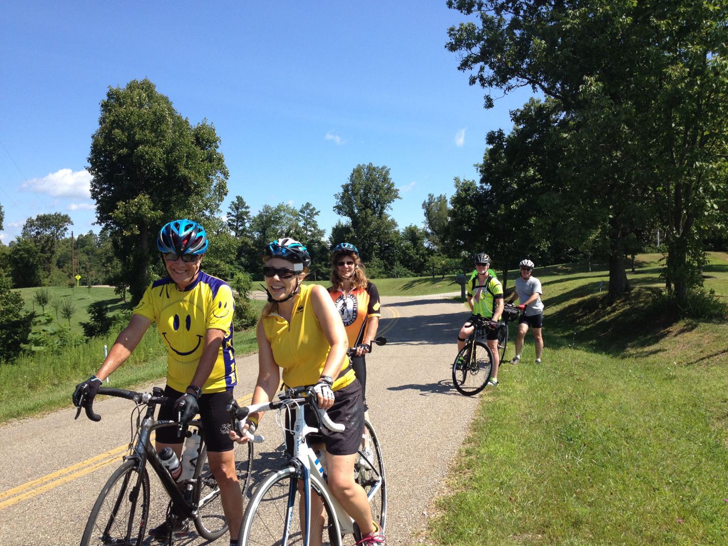
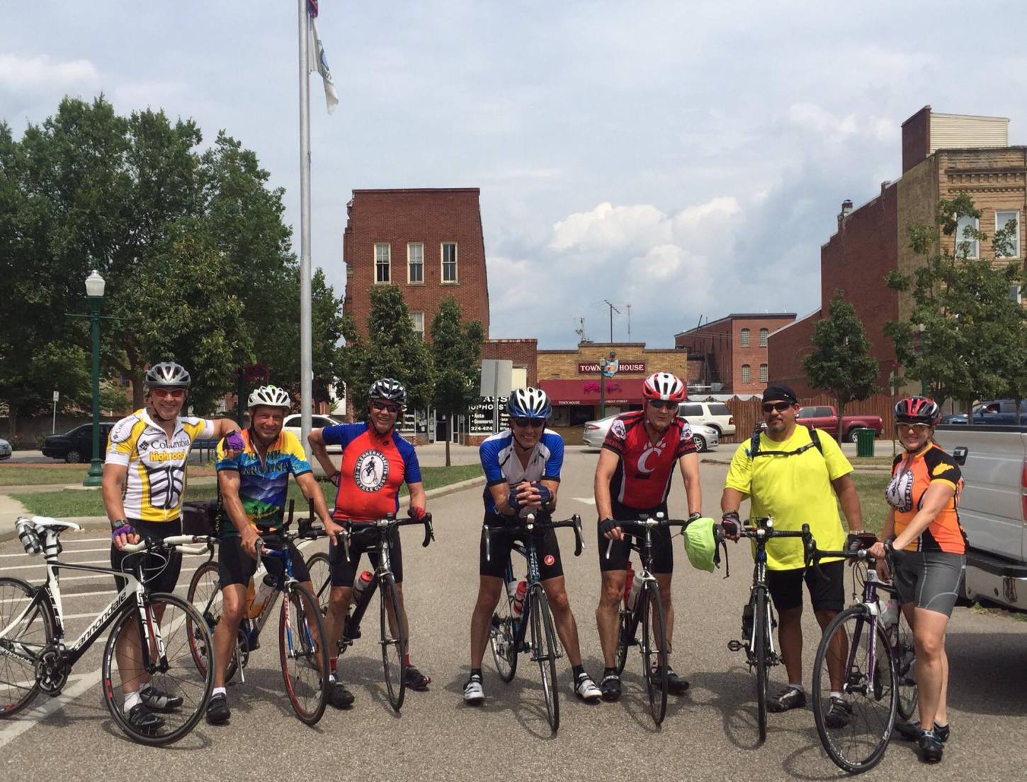
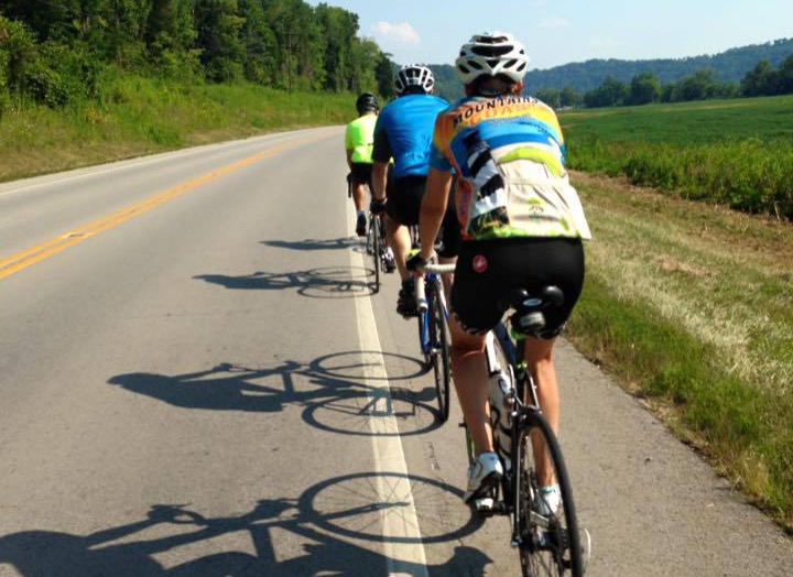
Local Road Riding
Click the links below to see our favorite local road routes all leaving from Downtown Marietta. We will be adding gravel routes of varying lengths to the website over the next couples weeks. If you need any route suggestions, give us a call or email the shop!
CR-4, Muskingum R. Rd. to Rainbow Bridge
An out and back ride with 600 feet of elevation over 18.1 miles.
CR-4, Huck Rd, Lowell Hill , Musk. R. Rd. CR-4
A 24.6 mile road ride with 1,217 feet of elevation.
Our friends at the Blennerhasset Bicycle Club, River, Trails, and Ales, and RVMBA contributed to these routes. To learn more about our local clubs and events click the button below.
We rent all kinds of bikes!
Want to tackle some trail, gravel, or road rides, but don't have the best bike for the job? We have a fleet of high-quality rental bikes from Specialized for most types of riding.